|
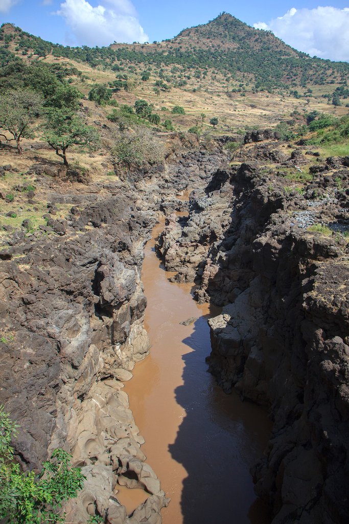 |
| The remainder of the Blue Nile after a few rain showers | |
| Latitude: N 11°29'14,88" | Longitude: E 37°35'39,22" | Altitude: 1612 metres | Location: TâÄ«s Isat | State/Province: Amhara Region | Country: Ethiopia | Copyright: Ron Harkink | See map | |
| Total images: 53 | Help | |